


The Adventure Map® is Canada's finest series of original topographic recreation maps featuring National Parks, Provincial Parks and other popular destinations. These extraordinary guides are specifically designed for outdoor adventurers such as paddlers, hikers and backpackers who need an accurate, up-to-date, rugged map to get them into and safely back from Canada's finest wilderness recreation areas.

This exciting series of quality topographic maps features many of Canada's greatest National Parks, major Provincial and Territorial Parks and other popular wilderness recreation areas. It is a major change in the way wilderness recreation maps are made, in that this series is (still) the only one in Canada that involves original, made from scratch topographic maps (ALL the others are simply outdated, generalized government topo data). And we take great pride in the clarity of the information - no piling all sorts of non-essentials onto the map just because we can. We want it uncluttered and easy to read.
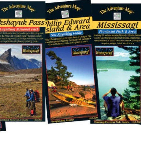
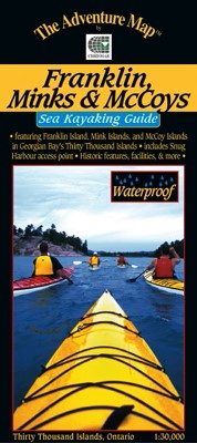
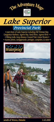
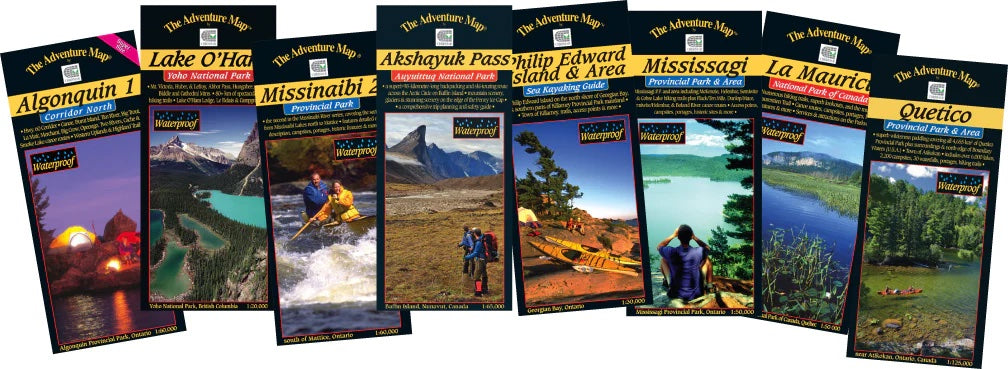
There are over 50 titles presently, with new titles released each year, along with regular updates every 2-4 years. They are receiving exceedingly favourable reviews with "the finest maps we're ever seen" being a regular comment by outdoor adventurers, map enthusiasts, park officials and the general user. See our Feedback page for some of these comments. Below are some of the reasons why we're getting such reviews, and further down we detail some of the features of the typical Adventure Map®:
Designed for Adventurers
The Adventure Map® is specifically designed for outdoor adventurers such as hikers, backpackers, and paddling enthusiasts who need an accurate, up-to-date, rugged map to get them into and safely back from the wilderness. You'll find all kinds of innovations and enhancements not found on other maps. We've even eliminated those annoying declination problems for you.
Compact and Waterproof
The Adventure Map® is easy to read, and doesn't require instructions to help you with folding! Our maps are also waterproof. In fact, we print on specially-made, extra tough, waterproof plastic. We stomped, crumpled and drowned this stuff to be certain it won't let you down in adventurous (i.e. fog, rain, sleet, snow, sweat) situations. Use it as a water jug or rain hat in a pinch!
Loaded with Info
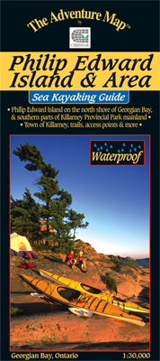
The Adventure Map® isn't just an exceptionally fine topographic recreation map; there's a bonus. We've also filled the other side of each sheet with colour photos and important information about the area including natural and human history, local regulations, outdoor tips, safety concerns, addresses, useful phone numbers and more. We work closely with Park personnel and other local experts who review every map and every word to ensure our research is accurate. There's also a detailed location map on the back cover. In short, a great trip guide in a compact format!
The Adventure Map® Is An Original
The publishers of other recreation map series and guidebooks in Canada (and the USA too) simply trace outdated, generalized government topos or buy that data. We don't! Initially, we use aerial photogrammetry to create a completely original contour map showing exceptional terrain detail, vegetation, trails, buildings, water and other features of greatest importance to outdoor adventurers. Other base maps simply can't measure up.
Then we visit the site to conduct extensive field surveys of trails, campsites, portages, and other important features to ensure each map is accurate and fully up-to-date. Finally, we craft all this information into an exceptionally detailed, yet exceptionally clear, full-colour map on one side, combined with detailed text and photographic information about the area on the other side.